At the south end of Kentucky Street in Kingston, a hill rises above the place where the Clinch River runs into the Tennessee. On top of it stand reconstructed log buildings set on the foundations of a federal fort built in 1797. Since July, the sign at the entrance has read Fort Southwest Point State Historic Park. Kingston was the last to run the site, and now it is the 66th park in the Tennessee State Parks system.
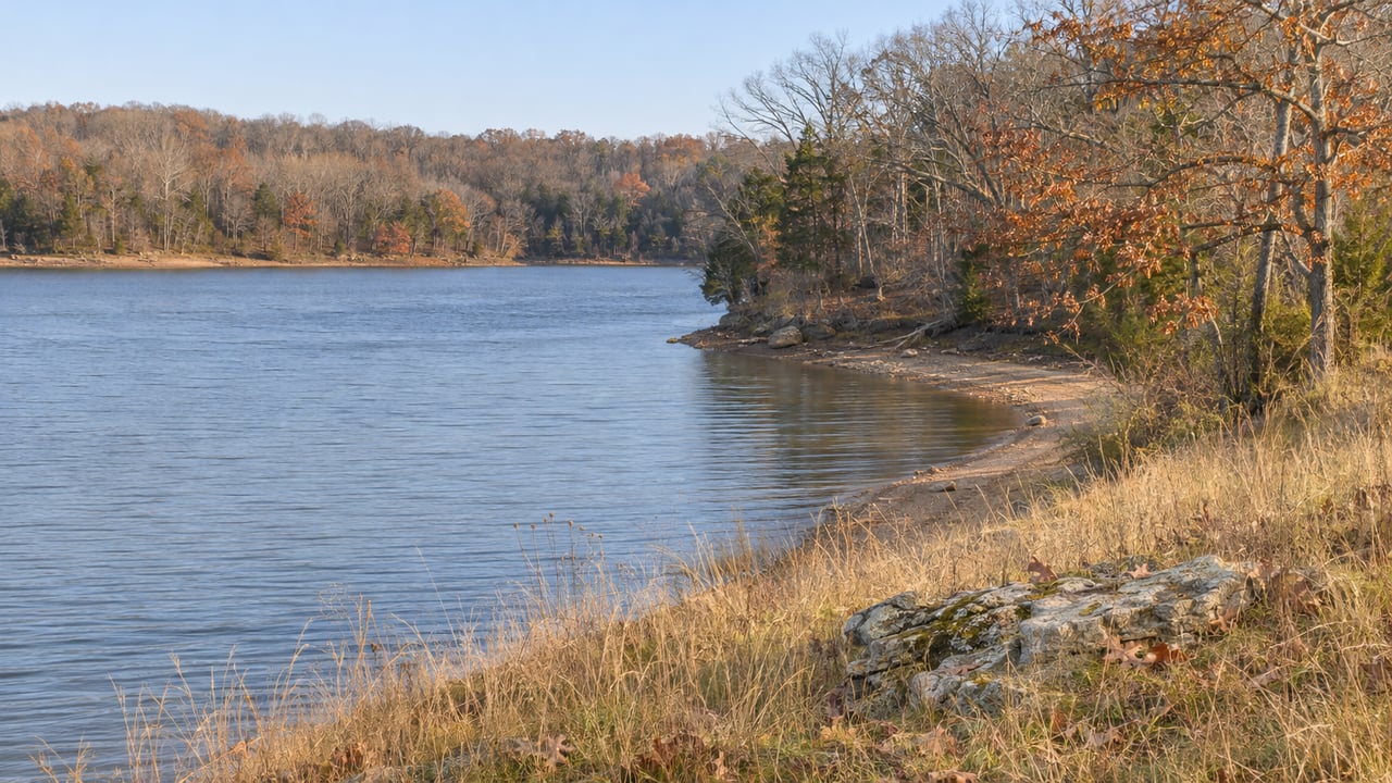
The first program the state has put on the calendar here is a one-mile walk up to a view of Watts Bar Lake and both rivers. It falls in the weeks when TVA is lowering the lake below its summer level.
A Fort Built for Talking
The Tennessee Department of Environment and Conservation's dedication announcement sets out a short history:
- 1797: Federal troops build the fort in what was then called the "Southwest Territory."
- 1801 to 1807: The fort serves as a supply depot and hosts treaty negotiations with the Cherokee, directed by Colonel Return Jonathan Meigs.
- 1811: The last federal soldiers leave.
- 1972: The site is listed on the National Register of Historic Places for its historical and archaeological value.
- 1974: Kingston opens it as a historic site and public park.
- July 2026: Tennessee State Parks dedicates it as its 66th park.
BBBTV12's report from the dedication said the site "tells the story of diplomacy, westward expansion, and the people who helped shape this region" rather than a battle. The state's park page explains the location. In the 1790s this point sat on the U.S. frontier, at the border with Cherokee lands, where the two rivers meet. The rivers that made it a good place for a frontier post are the same ones you look out on today, now part of Watts Bar Lake.
Inside the visitor center, a museum displays artifacts dug up on site under the supervision of the Tennessee Division of Archaeology.
New Management, Same Hill
According to BBBTV12, the state named Hannah Paschall park manager. The station also reported that State Senator Ken Yager hosted the ceremony, and Tennessee State Parks Director Chris Padgett announced the park's number in the system. Kingston Mayor Tim Neal talked about what state management will mean for Kingston and Roane County. Roane County Mayor Wade Creswell spoke about keeping the site preserved for future generations.
Brian Clifford, TDEC's deputy commissioner for conservation, said in the state's announcement that "the state can help ensure the history that played out here more than 200 years ago will be preserved for future generations."
The handoff did not start from scratch. BBBTV12 listed the groups that kept the site open for decades: the City of Kingston and Kingston Parks and Recreation, with support from the University of Tennessee, Knoxville, the Roane Alliance, the Roane County Heritage Commission, the Tennessee Society Daughters of the American Revolution and Roane Tourism. In February, WATE reported that TDEC was running a public survey for a long-term master plan, asking what improvements and events people wanted.
Visitors will find what the state's announcement lists: the reconstructed fort, the museum, picnic areas, an 18-hole disc golf course and a walking path along Watts Bar Lake. On clear days you can see Frozen Head State Park and the Cumberland Mountains.
The Walk the State Chose First
The first program on the state's events page is the park's first annual Day After Thanksgiving Hike, on Friday, Nov. 27, from 9 to 10 a.m. It starts at the visitor center. The event listing describes a loop of about a mile. It follows a paved part of the Betty Brown Memorial Walking Trail, climbs an unpaved hill into the fort and comes back down the paved path. Along the way are views of Watts Bar Lake, the Tennessee and Clinch rivers and the fort. Registration is on the event page, and Kristen Powell is listed as host. The page asks hikers to wear good walking shoes, bring water and dress for the weather.
Any other morning, you can walk the paved stretch on your own. Tennessee State Parks describes the shoreline path inside the park as about half a mile and paved. Kingston's facilities page lists the full Betty Brown Memorial Walking Trail at more than three miles.
Why the View Changes After November 1
The water below the fort changes in winter. TVA's drawdown explainer says Watts Bar's seasonal drawdown begins on November 1, and main-river reservoirs usually reach their winter flood-guide levels by January 1. The Tennessee Wildlife Resources Agency's Watts Bar page puts the winter drop at 5 to 6 feet.
The lake hadn't dropped far yet when the Thanksgiving hike was announced. TWRA's weekly report for Oct. 30 to Nov. 3, 2026, had the water at about 67 degrees and roughly a foot below full pool as of Nov. 3. By late November it will be further into the drawdown, and it keeps going until New Year's. Someone who walks the path on Nov. 27 and again in early January will see the same confluence at two different levels.
| Window | Lake level, per TVA and TWRA | At or near the fort |
|---|---|---|
| As of Nov. 3, 2026 | About 1 foot below full pool, water near 67°F | Paved path open, as usual |
| Nov. 27, 2026 | Drawdown underway since Nov. 1 | Day After Thanksgiving Hike, 9 to 10 a.m. |
| By Jan. 1, 2027 | At or near winter flood-guide level, 5 to 6 feet down | Same shoreline, lower water |
The Shoreline Around the Point
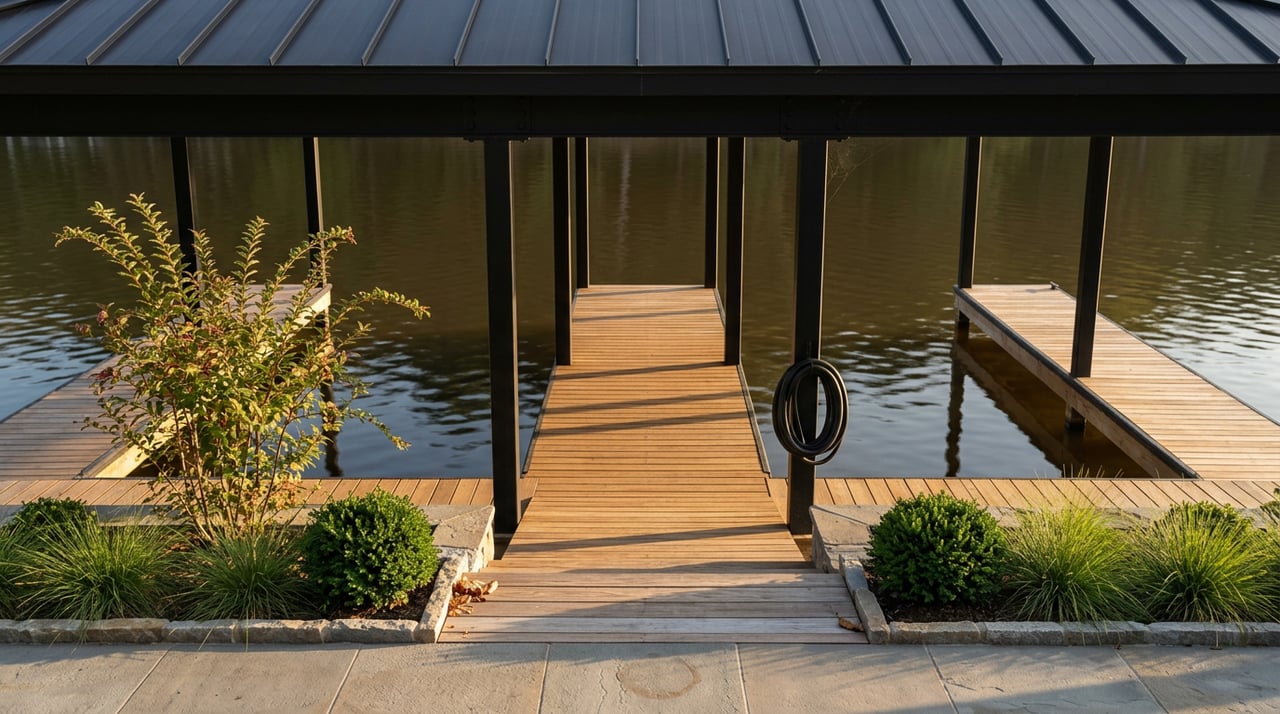
The state park takes up one stretch of a waterfront Kingston has already built out. Next door, Kingston City Park at 333 West Race Street has boat ramps, docks, picnic tables, restrooms, playgrounds, courts and a pavilion. The city's facilities page also lists the Southwest Point Park Sports Complex beside the historic park, with fields, a track, a playground, restrooms and its own disc golf course. It names more water access at 58 Landing, Gravel Pit Park, Ladd Park and the Downtown Dock.
People launching from those ramps this season are going after fish that are moving. TWRA's Watts Bar guidance says largemouth follow shad into deeper water on the lower lake as it gets colder. Crappie move toward deep creek and river channels after a stretch of cold weather. Sauger and walleye keep biting below Fort Loudoun Dam and downstream into the winter. For striped bass, the agency points anglers to main-lake areas and names Rockwood and Whites Creek as places to start. In its Oct. 30 to Nov. 3 report, crappie were starting to pick up over brush in deeper creeks and inlets.
For winter birding, head up the lake. TWRA says waterfowl and bald eagles are common in winter at the Watts Bar Wildlife Management Area. It names Thief Neck and Long Island as access points, and the WMA is open during daylight all year. Farther south in Meigs County, the Hiwassee Wildlife Refuge hosts more than 10,000 wintering sandhill cranes. TWRA lists its viewing platform as a place to see them from mid-October through February, and some years into March.
Late November Into December Around the Lake
The fort's hike lands in the middle of a busy stretch of holiday events in lake towns:
- Saturday, Nov. 21: Roane's Taste of the Holidays on Walden Street in downtown Harriman, put on by the Roane County Chamber, with vendors, food trucks, live holiday music, a free kids' zone, letters to Santa and free photos with Santa.
- Friday, Nov. 27: The Day After Thanksgiving Hike at Fort Southwest Point, 9 to 10 a.m.
- Saturday, Nov. 28: Christmas at the Depot in Spring City, with a parade and depot lighting, listed on Rhea County Tourism's calendar.
- Saturday, Dec. 5: Christmas at the Courthouse in Dayton, noon to 4 p.m., with a Christmas Critters pageant, a parade and Santa selfies, per Rhea County Tourism. A radio-theater performance of "It's a Wonderful Life" is on the same day's calendar.
For the fort, park at 1226 S. Kentucky St. in Kingston and meet at the visitor center.
Nancy Keith knows how Watts Bar changes from season to season, from summer's full pool to January's lower water, and what that means for owning a home on the lake. If you're weighing a move on or off the water, Nancy Keith will walk you through it. Schedule a free consultation.