Ask three people in Maryville how long the greenway is and you'll get three different answers, and all three will be right.
Someone who bikes from the Depot Lot downtown out toward Alcoa will tell you it's nine miles, point to point, Bicentennial Park to Springbrook. Someone who grew up chasing the duck pond loop at Springbrook and the spur out to the corporate center will tell you it's closer to eighteen. Neither one is rounding. The Maryville-Alcoa Greenway is really two different things stacked on top of each other: a single through-line connecting two cities, and a tangle of spurs, loops, and connectors that only locals bother mapping in their heads. The number changes depending on which version you mean, and most people who use it every week have never had to reconcile the two.
That's the thing worth understanding about this trail before you understand anything else about it. It isn't one experience repeated for nine or eighteen miles. It's a chain of very different half-miles, each one built around a different park, and each one drawing a different kind of regular.
Mile Marker Zero and What It Actually Marks
The greenway has an origin point, and it isn't a trailhead sign or a parking lot. It's the city line itself. Mile Marker 0 sits at the boundary between Alcoa and Maryville, roughly where the trail passes the PetSafe Dog Park just outside Bicentennial Greenbelt Park. From there, the numbers run in two directions: south into Maryville toward Foothills Elementary and Montgomery Ridge Intermediate School, about four miles out, and north into Alcoa toward the edge of Springbrook Park, about five miles the other way. Quarter-mile markers show up the whole way, labeled north or south depending on which city you're walking into.
That system matters more than it sounds like it should, because it means the greenway isn't organized around a single destination. It's organized around the seam between two towns, and the character of the trail changes noticeably as you move away from that seam in either direction.
Six Parks, Six Different Reasons to Show Up
The Maryville-Alcoa Greenway touches six named parks along its main line, and each one has settled into its own function:
- Springbrook Park (1537 Dalton St., Alcoa) anchors the north end with a circular 1.5-mile loop, a pond, a playground, memorial trees, and the Alcoa Swimming Pool next door. It's where families with small kids tend to park and stay close, rather than heading out onto the long stretch.
- Bicentennial Greenbelt Park (409 N Cusick St., Maryville) is the trail's downtown anchor. Maryville dammed Pistol Creek here decades ago to create Greenbelt Lake, and the park now functions as the greenway's town square: benches, a pedestrian bridge to the Blount County Library, and the widest concentration of foot traffic on the whole system.
- Sandy Springs Park and Pearsons Springs Park sit further out along the Maryville side, quieter and more wooded, where the trail runs closest to Pistol Creek itself.
- Founders Park, Richard Williams Park, and Hall Park round out the Alcoa-side access points, each one a smaller, more residential entry rather than a destination in its own right.
The PetSafe Dog Park near Bicentennial does a lot of the work of explaining why the middle section of the trail feels different from the ends. It's roughly the halfway point of the whole system, which means it pulls dog walkers from both cities into one concentrated stretch, while the outer miles toward Springbrook or Pearsons Springs stay noticeably emptier.
The Section That Just Got Fixed
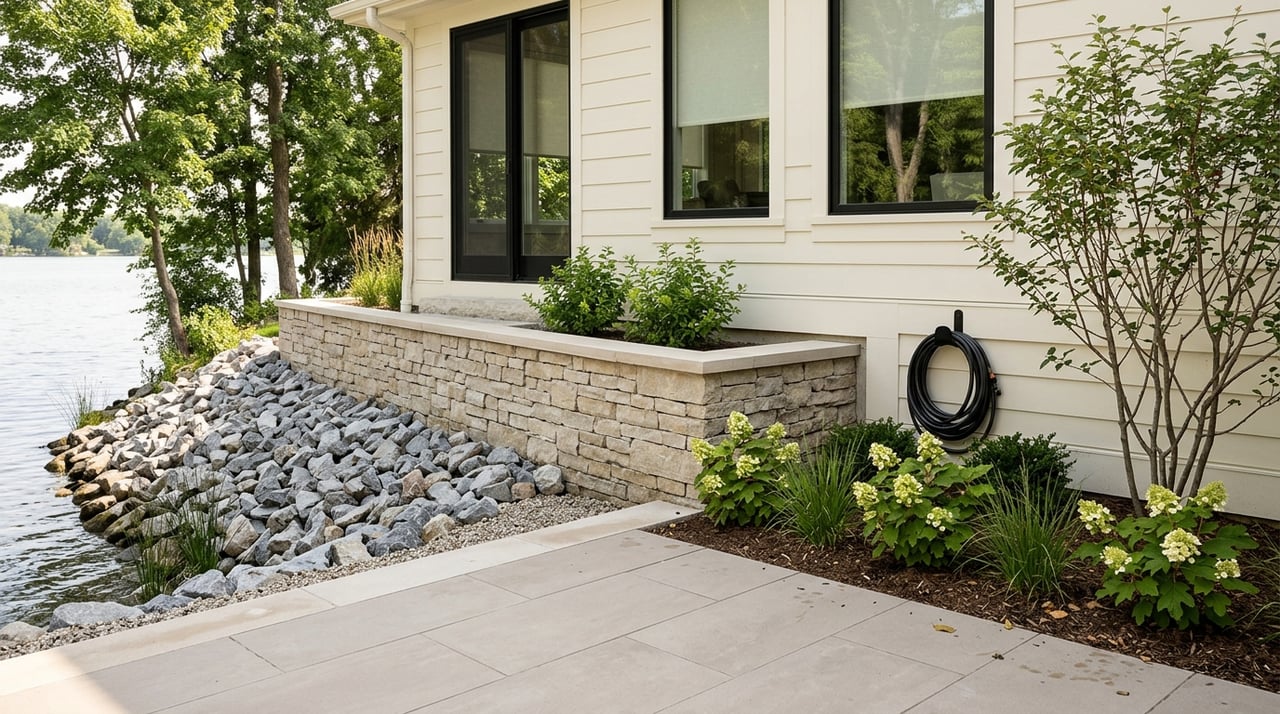
The stretch through Pearsons Springs Park has had a specific, recent reason to look different this year. The City of Maryville's Engineering and Public Works department completed a streambank stabilization project along 2,200 linear feet of Pistol Creek in the park, restoring a section of eroding bank that had been wearing away along the greenway corridor. It's the kind of infrastructure work that doesn't show up in a trail review but changes the actual walking experience: firmer banks, less washout after heavy rain, and a creek edge that holds its shape instead of slowly eating into the path shoulder.
If you've noticed the Pearsons Springs stretch looking tidier or less muddy after rain than it used to, that project is why.
What Actually Changes Once the Trout Show Up
The one event that briefly turns the whole system into a single destination happens at the Maryville end, and it happens every winter. The Tennessee Wildlife Resources Agency runs Pistol Creek and Greenbelt Lake as part of its statewide Community Lakes Fishing Program, alongside Cameron Brown Lake in Germantown, Cedar Hill Park Pond in Madison, Camp Jordan in East Ridge, and Fountain City Lake in Knoxville. Most recently, TWRA confirmed the program for the 2025-26 season with Greenbelt Lake as one of its stops, stocking rainbow trout that average about 10 inches. Anyone 13 or under fishes free. Adults need a license, plus the state's supplemental trout license for anyone 16 to 64. The daily creel limit runs to seven fish.
What makes this worth knowing isn't the fish count. It's what it does to the park. For most of the year, Bicentennial Greenbelt is a walking-and-biking corridor with a lake as scenery. For a stretch each winter, it becomes an access point in the literal sense TWRA uses the phrase, meaning the dominant activity along that stretch shifts from movement to standing still. Regulars who use the trail for exercise notice the difference immediately: more people stopped at the water's edge, fewer moving through.
It's a small seasonal hinge, but it's the clearest evidence that this greenway isn't one continuous experience. It's a series of local economies, and once a year, the state government briefly rewrites the rules for one small piece of it.
A Trail That Argues With Itself
Here's the contradiction that never quite resolves, and honestly shouldn't. The City of Alcoa describes its share of the system as over 18 miles of paved trail. Most other references, including regional tourism guides, describe the connecting greenway itself as nine miles end to end. Both numbers are accurate. The nine-mile figure is the spine, Springbrook to Sandy Springs. The larger figure folds in everything hanging off that spine: the Springbrook loop, the corporate center spur, the pedestrian bridge to the library, the short connectors that don't show up on a simple point-to-point map.
That gap between the two counts is a decent stand-in for how the whole trail works. It rewards people who treat it as a single nine-mile commitment, and it rewards people who never leave their own quarter-mile just as much. Nobody is wrong about how long it is. They're just describing a different trail than the person standing next to them.
The greenway connecting Maryville and Alcoa was dedicated back in 1998 as a joint project between the two cities and Blount County, and it's kept adding pieces ever since, a spur here, a stabilized bank there, a new access point when a school needed one. It was never designed to be experienced all at once. It was designed to be experienced in whichever quarter-mile happens to be closest to your front door.
If you're getting to know Maryville, or thinking about which stretch of it might end up being yours, that's worth sitting with. The greenway isn't a single amenity you either have or don't. It's a set of very different half-miles, and the one that ends up mattering to you probably depends less on the trail map and more on which park you end up closest to.
If you'd like a closer look at what living near a specific stretch of Maryville actually looks like day to day, Nancy Keith is happy to walk through it with you. Schedule a free consultation whenever you're ready to talk specifics.